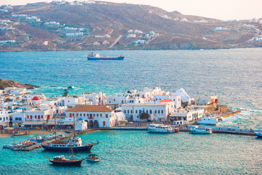
Officially, no one knows exactly how many islands Greece has, and the real number falls somewhere between 3,000 and 9,841 depending on who is counting.
Nobody can agree on how many islands belong to Greece
Estimates vary so widely because researchers disagree on what counts as an island versus a bare rock or islet. Even the higher figures only put about 169 to 200 of them as permanently inhabited.
That means roughly four out of five Greek islands have never had a full-time resident. Many of the empty ones double as untouched habitat for wildlife: 28 of Europe’s 36 eagle species nest somewhere in Greek skies.
Most of the country isn’t beaches at all
The postcard image of Greece is sun, sand, and turquoise water. But somewhere between 70 and 80 percent of Greek territory is mountainous, making it the sixth most mountainous country in Europe.
Mount Olympus, home of the gods in Greek mythology, rises 2,917 meters (9,570 feet) above the Aegean. It’s just one of 29 peaks in the country above 2,000 meters (6,560 feet). The Pindus range, the mountain spine running through the mainland, averages 2,650 meters (8,694 feet) in elevation, closer to the profile of the Rockies than a beach resort.
That terrain splits the climate in two. Northern mountain regions like the Rhodopes see January averages around 37°F (3°C), while Crete and the Cyclades stay closer to 55°F (13°C) in the same month. In summer, the meltemi wind can blow in from the north at 37 to 56 mph, cooling the Aegean even as the sirocco occasionally pushes hot air up from the Sahara.
Greece is smaller than Alabama, yet draws four times its population in tourists every year
At 131,957 square kilometers (50,949 square miles), Greece is slightly smaller than Alabama. Despite that modest footprint, it has 15,000 kilometers (about 9,320 miles) of coastline, carved into all those islands.
In 2024, the country welcomed 40 million visitors, nearly four times its own population of 11 million. Tourism alone accounts for roughly a quarter of Greece’s GDP.
This corner of the Mediterranean produces half of Europe’s earthquakes
Greece sits right where the African and Eurasian tectonic plates meet, a boundary that shifts about 4 centimeters (1.6 inches) a year. As a result, the country experiences roughly half of all earthquakes recorded in Europe each year.
In 1953, a magnitude 7.2 earthquake near Kefalonia and Zakynthos killed 476 people. Three years later, a magnitude 7.7 quake struck Amorgos, one of the strongest ever recorded in the region.
The ruins are older than the country itself
Modern Greece has existed as an independent nation only since 1830. Before that, the region spent nearly four centuries under Ottoman rule, starting with the fall of Constantinople in 1453.
The first independent Greek state covered only the Peloponnese and Attica, a fraction of today’s borders, and expanded gradually over the following century. Some of the most spectacular ruins associated with ancient Greek civilization now sit outside the country entirely, in Sicily and in Turkey.
The Greece on a map today is a relatively young arrangement, built on top of a civilization that was never really contained by borders in the first place.