Iceland’s name promises ice, not trees, but a thousand years ago, more than a quarter of this island was covered in birch forest that has almost entirely vanished.
A forest that disappeared
When Norse settlers landed in the ninth century, they found woodland covering more than a quarter of Iceland’s land area. Within a few generations, most of it was gone.
The Vikings cleared the birch forests for farmland, timber, and grazing land for the sheep they brought with them from Scandinavia. The island’s thin volcanic soil never recovered the way it might have elsewhere.
Today, those original birch woodlands cover only about 1.1% of Iceland, among the lowest forest coverage of any country in Europe, despite a climate that, on paper, could support far more.
A landscape shaped by rock, not trees
The real story behind Iceland’s bare landscape is deforestation, not glaciation. Glaciers do cover roughly 10% of the country, including Vatnajökull, the largest ice cap in Europe, but they’re not what dominates the map.
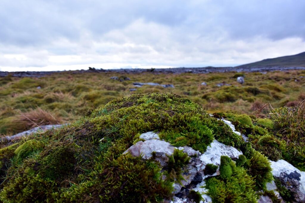
Bare volcanic rock covers about 23% of Iceland, sparse vegetation another 13%, and sand fields 3% more. The treeless, wind-scoured plateau visitors see today is largely a man-made outcome, not a natural one.
Winters milder than New York’s
Iceland sits just south of the Arctic Circle, which should mean brutal winters. Instead, its southern and western coasts get noticeably milder winter weather than New York City, a city at a far lower latitude.
The reason is the Gulf Stream, the warm ocean current that runs past Iceland’s coastline and tempers what would otherwise be a much harsher Arctic-adjacent climate. It’s the kind of contrast that consistently catches American visitors off guard.
An island that’s still growing
Iceland straddles the Mid-Atlantic Ridge, the boundary where the Eurasian and North American tectonic plates are slowly pulling apart. As a result, the island grows by about 2 centimeters a year.
That same tectonic activity feeds roughly 130 active volcanoes, with an eruption occurring on average every five years. In April 2010, the eruption of Eyjafjallajökull (often shortened to Eyjafjöll) grounded air traffic across northern Europe for days, one of the most disruptive volcanic events of the modern aviation era.
Foxes, drifting polar bears, and an uneven map
The Arctic fox is the only land mammal native to Iceland from before human settlement. Hunting drove its population down to roughly 1,000 animals between the 1950s and 1970s; today, around 8,000 remain.
Polar bears occasionally show up too, drifting over from Greenland on broken sea ice. Documented arrivals happened as recently as 2008, 2010, 2016, and 2024.
Despite Iceland welcoming visitor numbers close to triple its own population in recent years, about 95% of tourists stick to Reykjavik and its surroundings. The country’s dramatic northwestern fjords are seen by less than 15% of travelers, leaving most of the island to the foxes.
The trees are gone, but the draw isn’t
Even with that surge in visitors, tourism accounts for just over 5% of Iceland’s GDP, a modest return given the scale of the influx. What pulls nearly a million people a year to this island was never the forests. It’s everything that replaced them: the rock, the ice, and the ground that’s still quietly moving.